Main Introduction
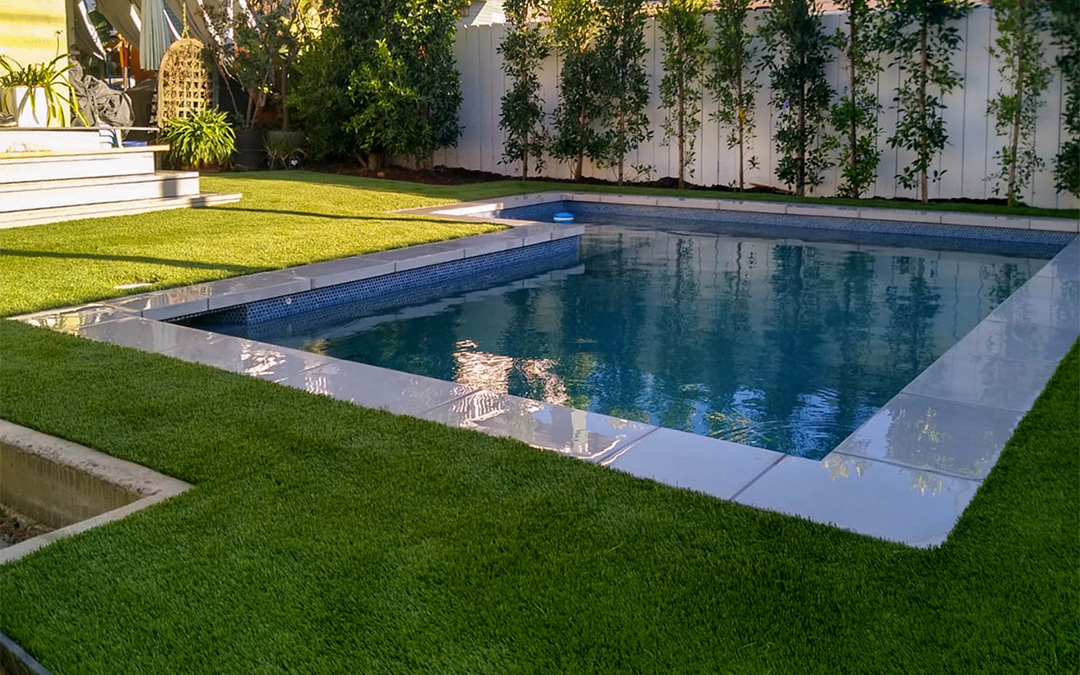
Artificial turf installation in Richmond, TX requires a fundamentally different planning approach than the same service in cities that do not sit on Brazos River bottomland. The soils that underlie Richmond's neighborhoods, from Pecan Grove's eastern lower-elevation zones through the Long Meadow Farms creek tributary corridors and the Old Richmond floodplain-adjacent core, are clay-heavy Brazos bottomland soils that restrict natural water percolation and accumulate standing water in ways that make generic turf installation planning fail in the field. Artificial Turf of Richmond built its installation process around this reality from the start. The 1994 Brazos flood, the 2016 Tax Day event, and Tropical Storm Harvey in 2017 each produced flooding that affected neighborhoods across Richmond and the surrounding Fort Bend County communities, and each event added to our understanding of how water actually moves through this landscape and what turf base systems need to do to keep a surface functional afterward. Before any material is ordered for a Richmond turf installation, we pull the current FEMA flood map panel for the property's address. Zone AE properties, which carry active base flood elevation designations, need base systems designed with different drainage channel depth and routing than Zone X properties on higher ground. That panel review is followed by a soil assessment that determines how much clay content we are working with and therefore how deep the aggregate base needs to be and how many perforated drainage channels are required beneath it. We establish positive drainage grade across the entire installation footprint as the first base construction task, because turf installed on a grade that does not positively shed water will hold moisture at fence lines and low-point corners regardless of how good the aggregate beneath it is. The installation work itself, from base compaction through turf placement, seaming, infill calibration, and final grooming, follows a documented sequence that accounts for Richmond's weather patterns and the seasonal moisture cycles that characterize the Brazos corridor. The finished system is one that works with the landscape rather than ignoring it, and that holds its performance through the flood events and extended dry periods that define life in Fort Bend County.